What do we do?
- Official cartography v2.2
- Official cartography v2.1
- 2D/3D base cartography
- Orthoimages
- Aerotriangulations
- Topographic surveys
- Mobile Mapping surveys
- Drone/UAV surveys
- Architectural surveys
- Heritage surveys
- Vertical mapping
- Geodetic networks
- Checkpoints
- Inventories
- Field review
- Cartographic updates
- Drafting technical requisites
Sensors
Check all the sensors we work with: Photogrammetric flights, satellite flights, mobile mapping, drones, total stations...
See sensors
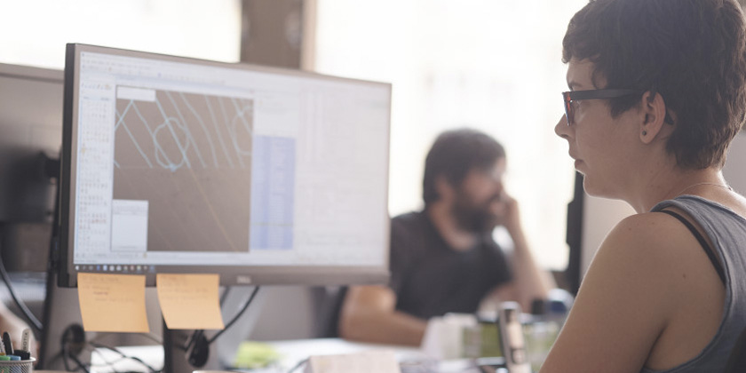
Mapping
For more than 20 years we have captured and represented spatial data on the territory. We work with a qualified team of professionals who are experts in the geospatial field to accompany clients from the planning stages to the data integration phases.
We are a company approved by the Government of Catalonia and the Barcelona Provincial Council for the production of official cartography, municipal boundaries and the establishment of geodetic networks and supports.

Sensors: photogrammetric flights, satellite flights, mobile mapping, drones, laser scans, total stations, GPS, devices, mobiles...
Capture methods: photogrammetric restitutions, aerial triangulations, digitalization of plans, 2D/3D CAD, automation, automatic data extraction...
Sensors
We are experts in all king of sensors and use the most appropriate one according to the client's needs and the purpose of the data.
Data
We work with all kinds and data formats to facilitate customer management: vector, textual, rasters, point clouds, panoramas, 3D...
Official specifications
We adapt to any specification of the client and we have extensive experience with the official specifications of administrations, operators and industries.
- Official cartography v2.2
- Official cartography v2.1
- 2D/3D base cartography
- Orthoimages
- Aerotriangulations
- Topographic surveys
- Mobile Mapping surveys
- Drone/UAV surveys
- Architectural surveys
- Heritage surveys
- Vertical mapping
- Geodetic networks
- Checkpoints
- Inventories
- Field review
- Cartographic updates
- Drafting technical requisites
According to the type of data to be captured, we design the process to obtain the result that best suits the needs:
- Study of data model and existing technical specifications sheet
- Accuracy analysis and catalog of elements according to the object of the capture
- Redesign or improvement of the data model, if necessary
- Definition and method of capture
- Planning and coordination of field tasks
- Field capture according to the chosen sensor
- Data processing and extraction
- Quality control and fiel review
- Incorporation and correction of incidents
- Delivery according to specifications