Infraplan Geospatial training
- Mapia products
- Bentley Microstation
- Bentley PowerCivil
- QGIS v2 & v3
- FME
- AutoCad
- ArcGIS Online
- ArcGIS Pro
- ArcMap
- ORACLE Spatial
- PostGIS
- Data processes
- Cartographic production
- Official specifications
- .NET programming
- Python programming
- Javascript programming
Technologies
Check all the technologies we work with: programming languages, databases, applications, APIs...
See technologies
Training / Support
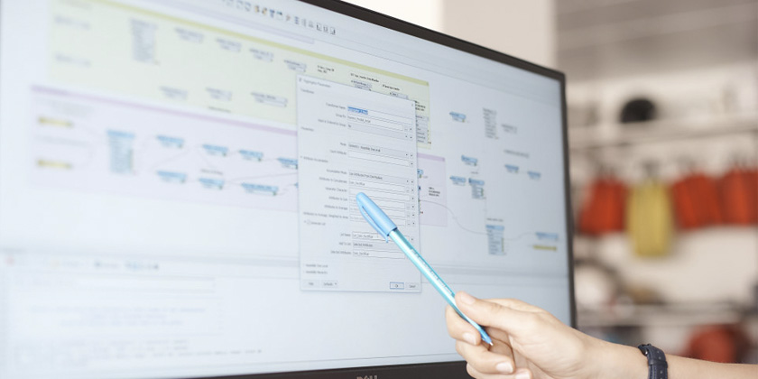
Infraplan Geospatial conducts trainings that cover the entire geospatial field oriented to the production, maintenance, updating, exploitation and publication of data, processes, production methodologies or software.
We have experts in each of the different fields of activity in order to offer the most convenient training according to the needs of the client. We customize the available courses to work and reinforce the corresponding aspects according to each case.
Once the training has been carried out, Infraplan Geospatial accompanies and supports clients to resolve any doubts that may arise.
On-site / Online
We go to the clients' offices to carry out the teaching activities or we can do them online according to their preferences.
Customers area
We have a customer area on our website that centralizes all contracted training.
Documentation
The training includes all the necessary documentation to facilitate learning and improvement tasks for the user.
- Mapia products
- Bentley Microstation
- Bentley PowerCivil
- QGIS v2 & v3
- FME
- AutoCad
- ArcGIS Online
- ArcGIS Pro
- ArcMap
- ORACLE Spatial
- PostGIS
- Data processes
- Cartographic production
- Official specifications
- .NET programming
- Python programming
- Javascript programming
Infraplan Geospatial conducts training and support in:
-

Mapia products
Regulated training on all Mapia platform products (MapiaClassics, MapiaBox, MapiaOnline). Check with us for more information.


-
Geospatial Software (Commercial/OpenSource)
Formations of the main commercial software in the geospatial field: Bentley Microstation, FME, AutoCAD, QGIS, ArcGIS Online, ArcGIS Pro, ArcMap... Check with us for mor information.


-
Spatial databases
Training in the use, maintenance and exploitation of geospatial databases using SQL: ORACLE Spatial, PostGIS, SQL Server, SpatialLite... Check with us for more information.


-
Development and programming
Training in .NET programming languages (VB / C#), Python and Javascript, WebMapping programming, as well as the creation of plugins to customize commercial and OpenSource software (Bentley, AutoCAD, QGIS). Check with us for more information.


-
Processes, methodology and specifications
Training in geospatial production methodologies, processes and geoprocesses, workflows, official specifications (v2.2, v2.2) to optimize production and improve the quality of the geospatial data life cycle. Check with us for more information.