What do we do?
- Urban and rustic surveys
- Infraestructures surveys and underground services
- Asbuilt plans
- Rethinking minutes
- Technical office assistance
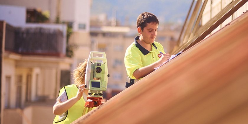
- Geomatic and topographical engineering
- Cubations
- Plot settings
- Alignment status
- Auscultation and deformation control
- Polygonal and geodetic networks
- 3D environment capture (static and dynamic laser scans)
- Infrastructure monitoring and follow-up
- 2D/3D delineation
- 3D modeling

4.0 Industry
We are experts in the capture, characterization, representation and rethinking of urban, civil, railway and industrial infraestructures throughout their cycle, promotion, projection, execution and exploitation.
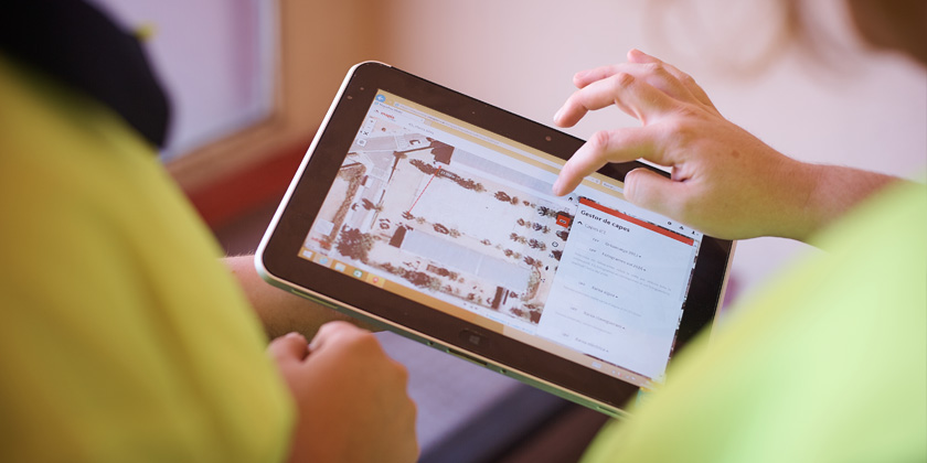
The Engineering Area uses the most convenient sensors and technologies to ensure that the resulting solution meets the requested requirements.
Technology
We have a vast experience in the use of the very latest sensors (laser, laserscanner, Mobile Mapping, drones...) applied in engineering and industry.
Technical assistance
We provide customer support for training and conceptualizing processes and sensors that improve performances and geospatial information.
Innovation
We evaluate, prototype, test and develop new solutions to improve the quality and potential of the data we generate and deliver to our clients.
We carry out tunkey projects, technical assistance services and consulting for our clients. We have technical office teams and qualified field teams with 24x365 availability.
We have our own infrastructure and technology necessary to host and manage the large volumes of data derived from massive captures of information.
- Urban and rustic surveys
- Infraestructures surveys and underground services
- Asbuilt plans
- Rethinking minutes
- Technical office assistance
- Geomatic and topographical engineering
- Cubations
- Plot settings
- Alignment status
- Auscultation and deformation control
- Polygonal and geodetic networks
- 3D environment capture (static and dynamic laser scans)
- Infrastructure monitoring and follow-up
- 2D/3D delineation
- 3D modeling